-
Use Promo Code "NJGF10" for 10% Off Regular Items
-
Supporting Vendors
-
-
Latest Topics
-
-
-
Posts
-

By V8 + Pew Pews · Posted
I'll take it as per our DM, if your current deal falls through -
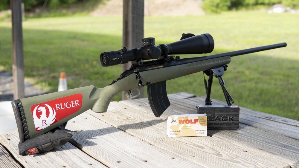
 For sale is a Shadow Systems XR920 Elite in 9mm. It’s Brand new. Comes with original paperwork, soft case and 2 Magpul 10 round Pmags. Optics ready Night sights Stippled grip Flared Magwell Bronze Fluted barrel I’m looking for $800. First person to say “I’ll take it” wins. Gun is at my FFL in Wayne NJ. You can meet me there to do the transfer or I can have it shipped to your FFL for a fee. Feel free to send me a PM.
 -

-
WTS: 11 boxes of Blazer 45 auto 230 gr FMJ $250 local pickup in Bergen or Passaic county. Must have matching ID/FID First to post “I’ll take it” wins the sale.
-
-
-