-
Use Promo Code "NJGF10" for 10% Off Regular Items
-
Supporting Vendors
-
-
Latest Topics
-
-
-
Posts
-
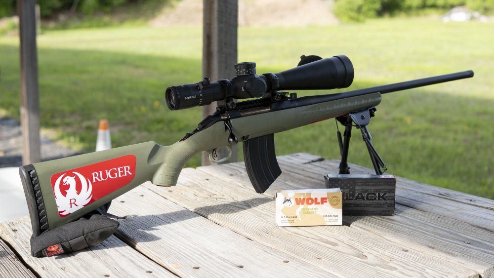
 Looking for a used Ruger Mini 14 Ranch rifle. Blued with black synthetic stock. Post 580 serial number. If anyone has one for sale please send me a message. Thank you.
 -

-

By High Exposure · Posted
it’s been 8 years now…. Damn, time flies. I miss you my friend -

-
-
-